

A Race Map To Hold Onto
The 95 runners attempting the first Cape Wrath Ultra™ arrived at The Nevis Centre in Fort William this morning, making their way there through some torrential rain and splashing along flooded roads, all no-doubt hoping the weather will be better during the race itself!
Most arrived early for the usual race procedures, which this time included being given a YB Satellite Tracker, and a unique race map. For the next 8 days this remarkable piece of map design will be their guide, and it’s carefully drawn cartography and concisely presented information encapsulate the challenge ahead. There may be times when progress is slow and cut-offs are looming, or they worry about being off-route, when it won’t be their friend, but otherwise it will be their race companion, and in-hand for much of the 400km route.
The whole route is printed in sections on one large sheet at 1:40,000 with 15m contours and is based on the Harvey map the Cape Wrath Trail. However, this special race version has been carefully modified for the event and represents a huge investment in time and resources by Ourea Events. “I’ve reccied the whole route,” said Shane Ohly, “and Gary Tompsett has revisited critical sections and between us, and working with Harveys, we’ve added additional detail and clarifications.”
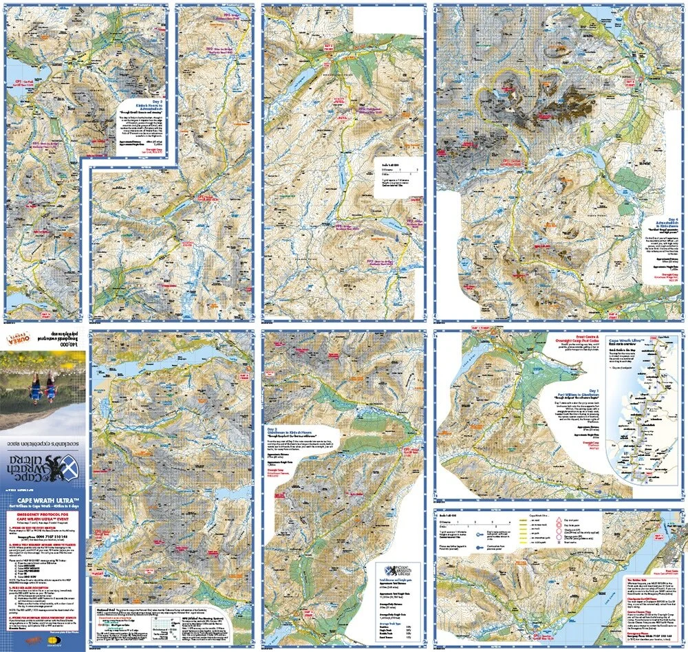
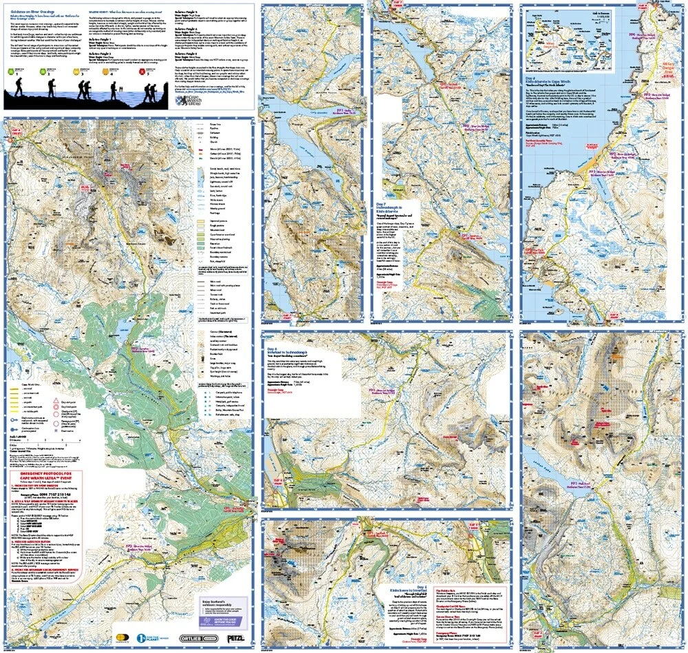
The route is marked in highlighted yellow, and it includes sections which are not on any of the versions of the Cape Wrath Trail. “There are places where we chose alternatives that are more runnable,” said Ohly, “and for logistical reasons as we have to set up an accessible camp each night.” The route marking is detailed by the type of terrain (road, track, path, intermittent path or no visible path)
All the passage points and checkpoints (with cut-off times) are marked, and each stage section includes details of approximate distance and ascent and a brief description. There are advisory safety and guidance notes along the route and even a guide to safe river crossing (a particular hazard on this race), plus instructions on emergency procedure and how to use the tracker for communication.
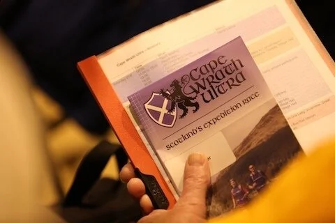
Hopefully it will survive in reasonable condition, as those who take part will surely want to keep and maybe frame it as both memory of the race, and masterpiece of the mapmakers art.
[Not all runners will be relying entirely on their map as for this race GPX tracks were provided and GPS use is allowed.]
Words by Rob Howard @ Sleepmonsters